
PROJECT LIBRARY
Real projects. Real data. Real interpretation.
The Project Library presents selected interpretations using project-specific data, maps, sections and three-dimensional models.
Each case is presented with a clear distinction between observation, interpretation and independent validation.
Selected project interpretations
Each project should be presented through the evidence generated during the interpretation. Rather than using generic geological illustrations, the Project Library shows:
Original data
Interpreted maps
Sections
Three-dimensional models
System geometry
Target examples
Validation information where available
PROJECT LIBRARY
Projects
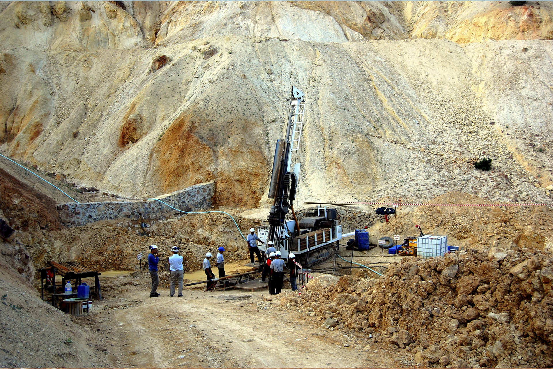
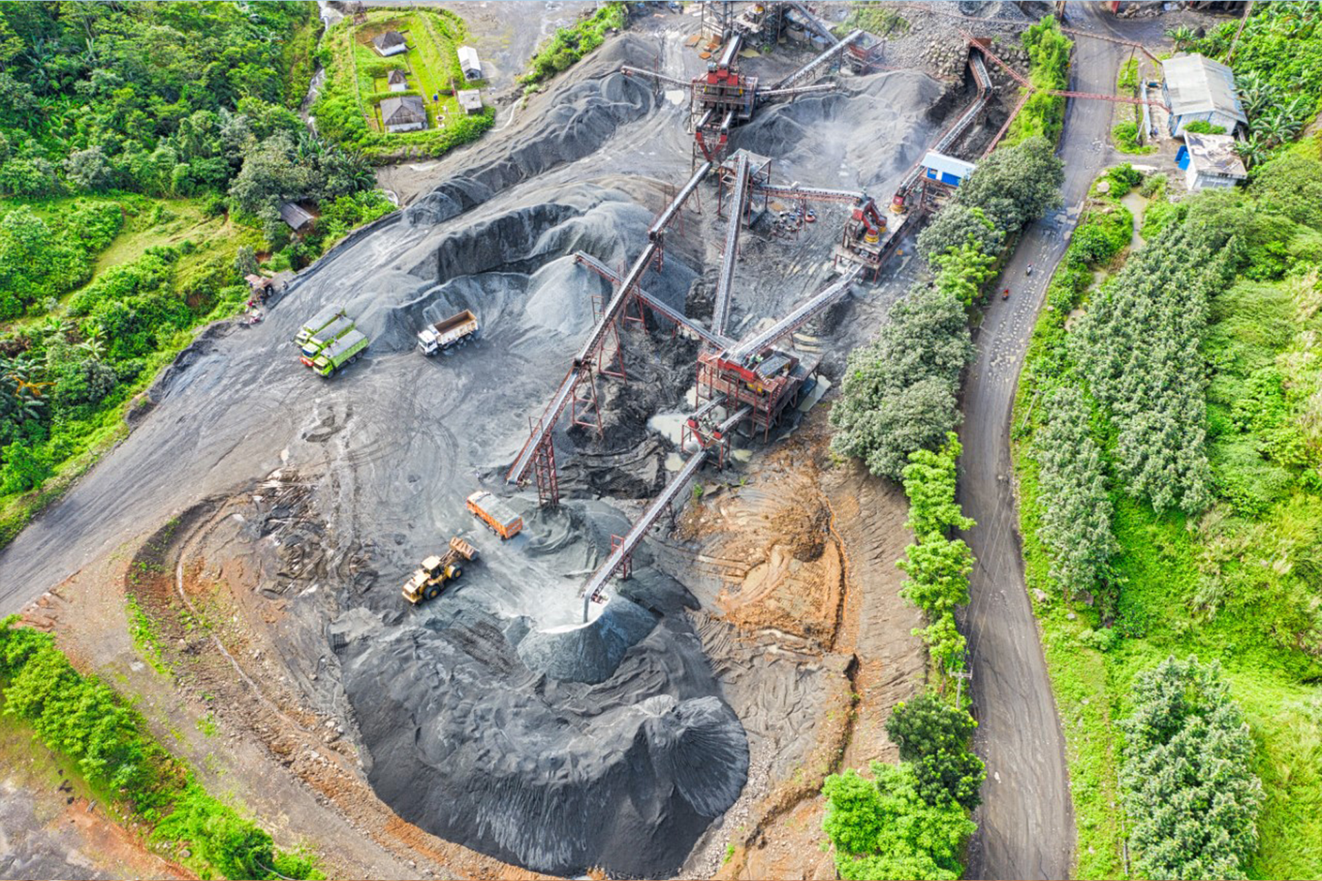
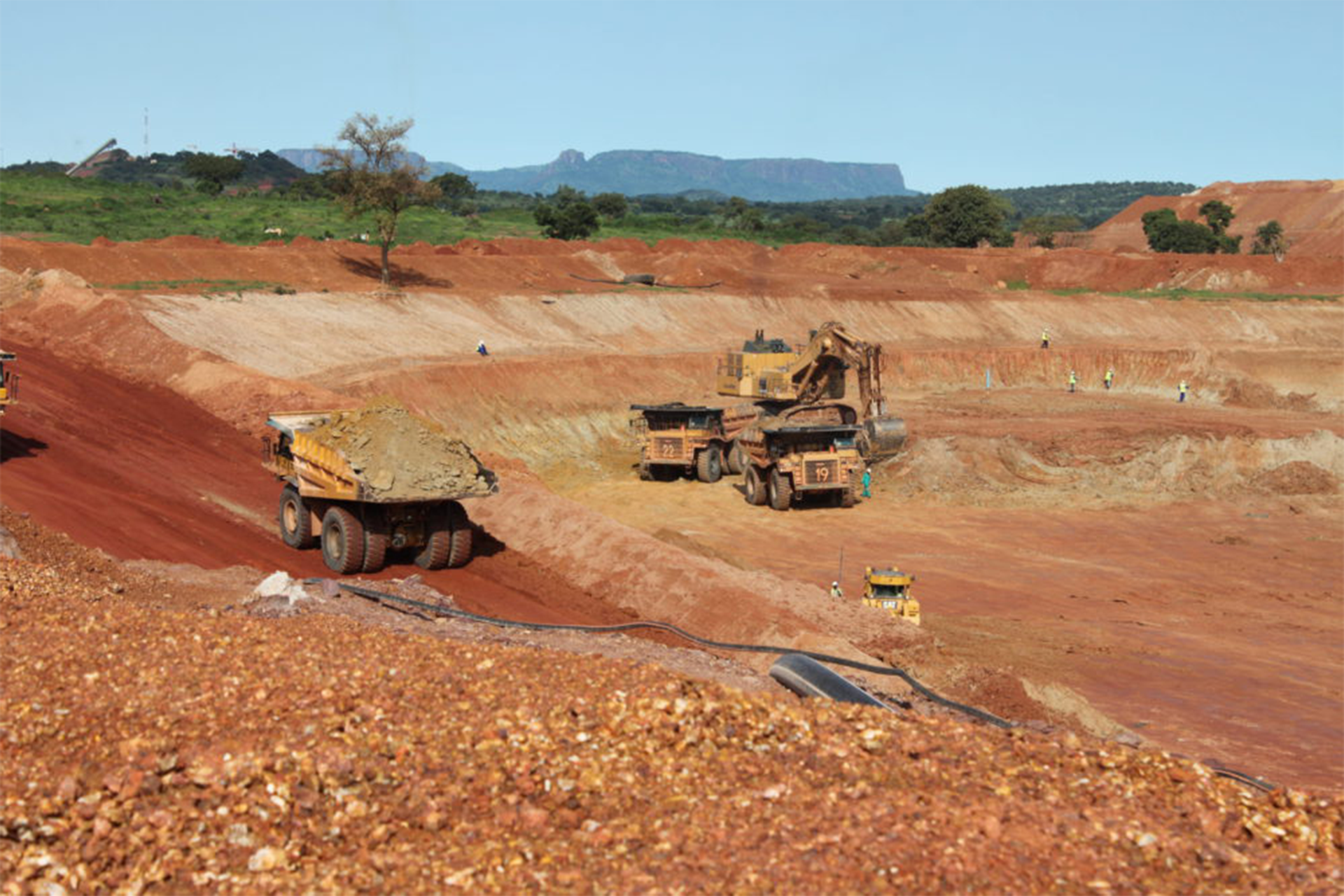
HOW EACH CASE IS STRUCTURED
Project presentation format
01 — Project
Location and project context.
02 — Available Data
Description of the information available for interpretation.
03 — Interpretation
How the system was identified and what structural relationships were observed.
04 — Connectivity
Description of the principal connected features.
05 — Target
Location and geometry of the area selected for further investigation.
06 — Validation
Available drilling, geochemistry, geophysics or other independent information.
07 — Current Status
Clearly separated from the interpretation itself.
Important distinction
A project example demonstrates the interpretation process. It does not constitute a guarantee that the same geological relationship will occur in another project. Every area must be interpreted independently.
Have a project to discuss?
Send us the project location, area of interest and available exploration data. We will assess whether the available information is suitable for system-level interpretation.